

By NAN Staff Writer
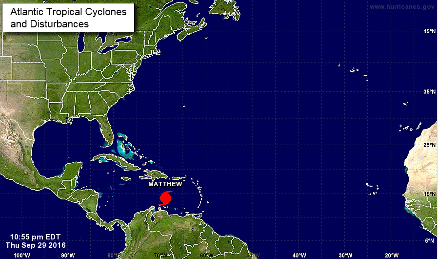
News Americas, MIAMI, FL, Fri. Sept. 30, 2016: Hurricane Matthew this morning was continuing to gain in strength over the South-Central Caribbean and was now about 130 miles from Punta Gallinas Colombia and 520 miles from Kingston, Jamaica, according to the latest National Hurricane Center alert. A turn toward the northwest for Matthew is expected Saturday night or Sunday and additional strengthening is forecast during the next 48 hours when Matthew could become a major hurricane – either later today or tonight.
A Tropical Storm warning is in effect for Aruba as well as Colombia and the Venezuela border to Riohacha. This means that tropical storm conditions are possible within the next 24 to 36 hours. A hurricane watch is possible in Jamaica later today which is urged to monitor the progress of the storm along with Hispaniola, and eastern Cuba as the storm is strengthening to 105 miles per hour winds.
Rainfall totals of 2 to 4 inches with isolated higher amounts are expected over Aruba, Bonaire and Curacao through Saturday. Rainfall totals of 2 to 4 inches with isolated higher amounts are expected along the coast of Colombia from the Venezuelan border to Riohacha. Rainfall totals of 1 to 2 inches with isolated
higher amounts are expected along the coast of Venezuela from Coro to the Colombian border.
Swells generated by Matthew are expected to affect portions of the coasts of Puerto Rico, Hispaniola, Aruba, Bonaire, Curacao, Venezuela, and Colombia during the next few days. These swells are likely to cause life-threatening surf and rip current conditions.